Prof. Debashish Sengupta
Advisor
Retired HoD, Geology and Geophysics, IIT Kharagpur
Expertise — Geology, hydrogeology, exploration of rare earth and critical minerals
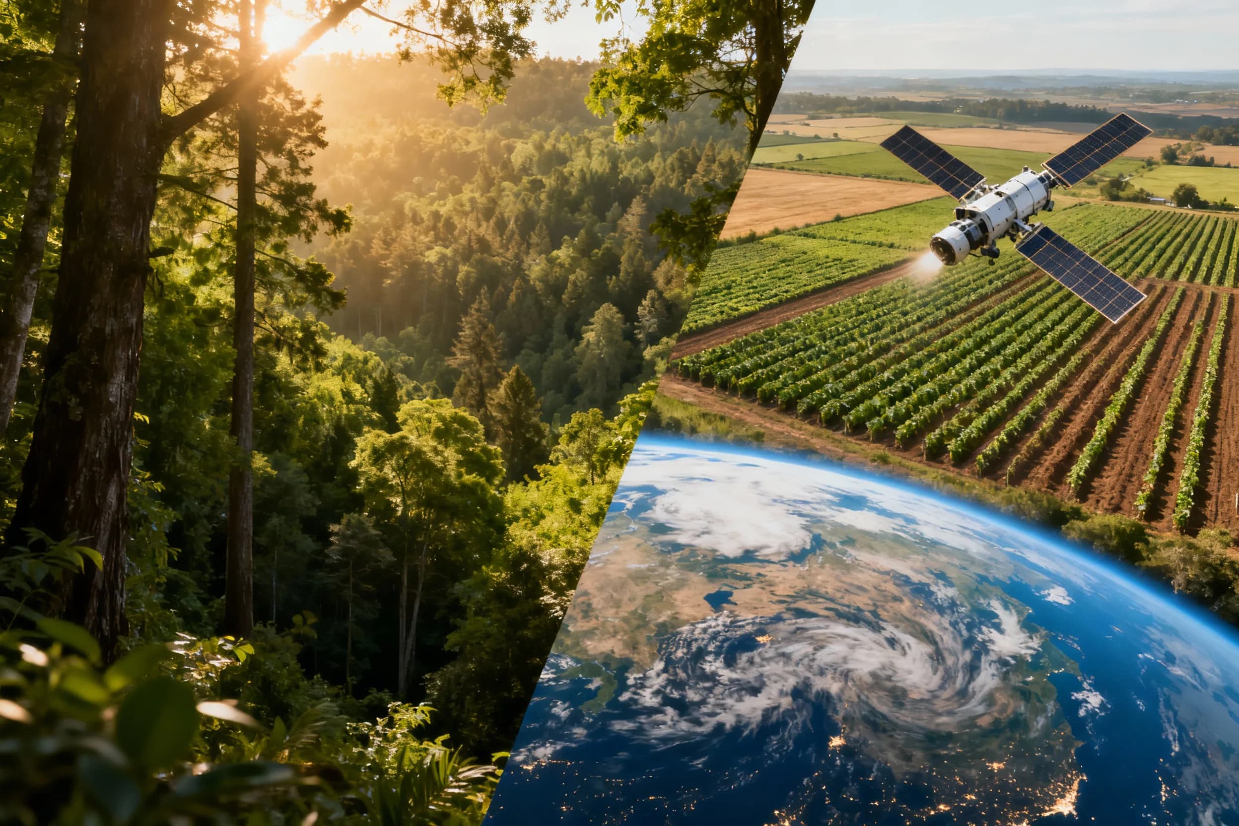
Bhumi is the Sanskrit word for Earth. We build the analytical layer between what satellites record and what organisations have to decide.
Enormous volumes of Earth observation data are now free, frequent and global. Very little of it reaches the people who need it, in a form they can act on. That gap — between an available archive and a defensible answer — is the whole of our work.
We build and run the chain end to end: acquisition, radiometric and geometric correction, model training against ground truth, validation, and delivery into whatever system the answer has to live in. Keeping that chain in one place is what lets us stand behind the numbers at the end of it.
Carbon markets were where we started, and dMRV remains one of our two verticals. But the same capability answers questions that have nothing to do with credits — where a crop is failing, which slope will move, how a coastline is changing.

Remote sensing is easy to oversell. These are the constraints we work inside so the output stays worth relying on.
Every map has error. We report accuracy against held-out reference data and say where a layer should not be trusted, rather than presenting a single confident number.
Cloud cover, revisit interval, spatial resolution and cost all constrain what is answerable. We choose instruments around the decision, and say so when a question cannot be answered from orbit.
A finished project should leave a running pipeline, documented methods and outputs in your systems — not a dependency on us to re-run it.
Engineers, scientists and advisors across both verticals — Earth observation analytics, and the science behind carbon removal.
Advisor
Retired HoD, Geology and Geophysics, IIT Kharagpur
Expertise — Geology, hydrogeology, exploration of rare earth and critical minerals
Climate Reality Leader
YALE-ELTI Fellow, Yale University
PhD (ongoing-ATREE)
Expertise — Ecology, nature-based solutions, socio-economy
Scientific Advisor
Lead Scientist — Data Assimilation & Hydro-Hazard (Consultant)
Lead ERW Scientist
PhD, IIT Kharagpur
Expertise — Agriculture, geology, hyperspectral remote sensing
Geospatial AI Engineer
M.Sc, Remote Sensing, SIG
Expertise — High-resolution remote sensing, marine applications
Geospatial AI Engineer
M.Sc, Remote Sensing, VU
Expertise — Forest change, carbon stock
Consultant
M.Tech, VNIT Nagpur
Expertise — Urban remote sensing
Tell us the area, the question and the cadence. We will tell you what is achievable.
Start a conversation